 science
 🛰️ Starlink turns into Earth's giant atmosphere scanner 🛰️
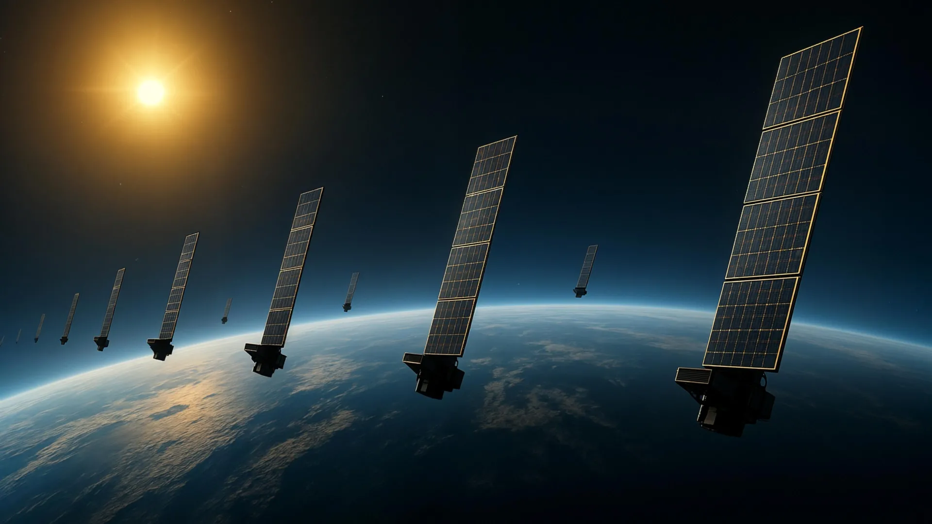
Scientists developed a new technique to map Earth's upper atmosphere using Starlink satellite data. Researchers at Kyoto University applied tomography to orbital information from around 1,200 satellites flying at 482 kilometers. This led to the first tomographic analysis, creating a 2D density map at roughly 500 kilometers. These findings align with data from ESA's SWARM satellites, showing consistency. The improved density data can help predict satellite movements and reduce future collisions.