 india
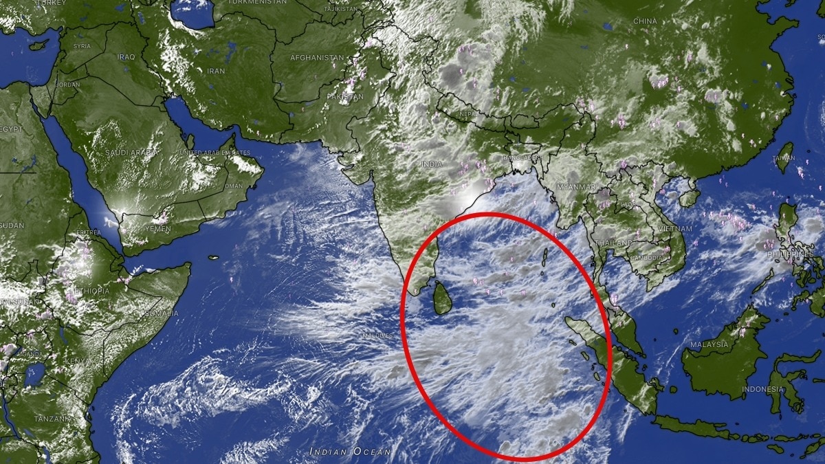
india ⛈️ Indian Ocean cloud mass building, rain trigger missing
A massive cloud shield has spread across the Indian Ocean, showing intense thunderstorm activity. This extensive cloud mass is visible via INSAT-3DS imagery, reaching heights of 15-16 kilometres. Currently, rain in central, eastern, and northern India is sustained by existing monsoon circulations and active convection. However, there is no distinct cyclonic swirl over the Bay of Bengal to drive prolonged heavy rainfall. Forecasters are watching the Bay of Bengal over the next few days for a trigger to strengthen the southwest monsoon. ⛈️